

Have you ever thought about why modern buildings appear to blend so seamlessly with their environment? How do architects produce those amazing 3D renderings that appear incredibly lifelike?
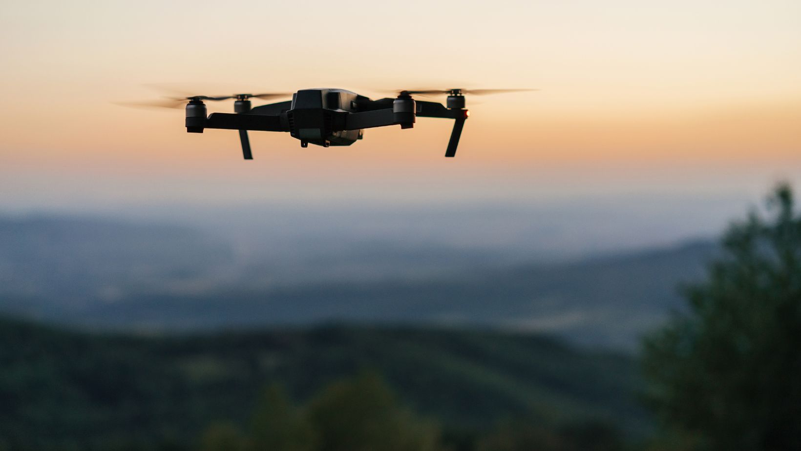
Advanced drone technology has emerged as the hidden force powering today’s innovative architectural designs alongside creativity. Architects today embrace new methodologies because these airborne devices gather data that completely reshape their professional approach.
This article will help you discover how drones used for surveying and mapping operations are transforming architectural practices while establishing new industry trends.
What’s Inside This Guide?
- How Drone Technology is Changing Architecture
- Top Architectural Trends Powered by Drone Mapping
- Real-World Examples of Drone-Influenced Architecture
- Future Possibilities for Drone Mapping in Design
How Drone Technology is Changing Architecture
Traditional methods for architectural mapping took too much time, cost too much money and faced limitations due to physical access restrictions.
Enter drone technology.
Today’s architectural firms are unleashing the power of drones for surveying and mapping to collect incredibly detailed site data in a fraction of the time. The transition to drone technology has revolutionized architectural design by expanding the boundaries of what can be achieved beyond just speeding up the process.
Industry experts predict that the global drone mapping service market will reach a valuation of $26,080 million by the year 2025. These numbers demonstrate the critical role that flying data collectors now play across various industries as architecture and construction remain at the forefront.
The following elements showcase why drone mapping represents a breakthrough technology for architectural professionals.
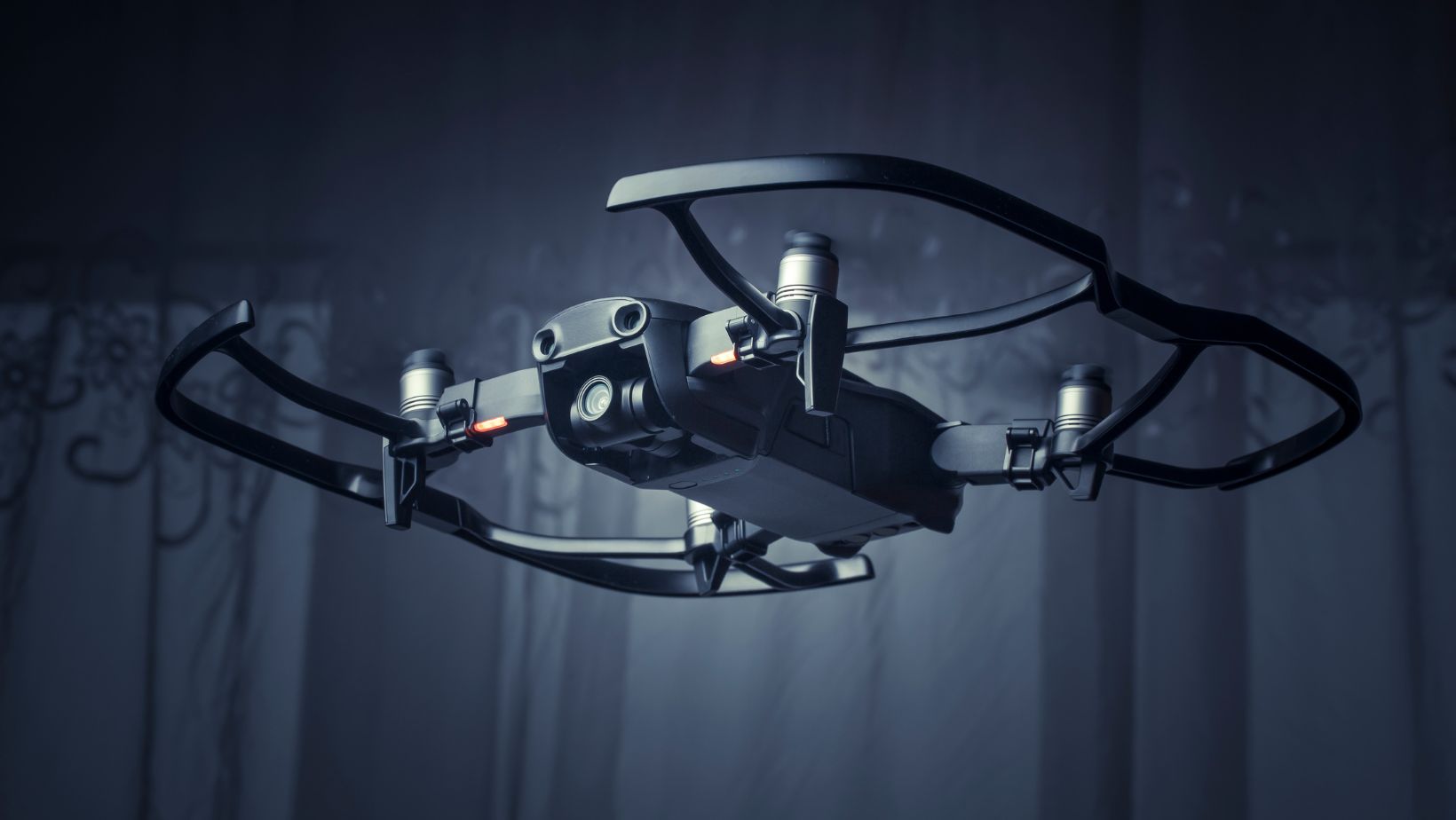
- The advanced sensors on drones collect millions of data points which then generate precise 3D models
- Where weeks were needed before drones can now finish tasks in only a few hours.
- The combination of lower labor expenses and quicker survey durations allows projects to become more financially accessible.
- Drones offer safety benefits by allowing structures and areas to be mapped without human entry into hazardous locations.
- Architects gain new insights into unreachable areas by using aerial perspectives.
The drone hardware market will reach $6.7 billion in 2025 and expand at the fastest rate within the industry demonstrating that this technology is only beginning to change our built environment design methods.
Leading Architectural Trends Powered by Drone Mapping
Drone technology adoption has initiated multiple exciting new directions in architectural design. We should explore how these aerial data-collection devices are affecting the development of new structures in our surroundings.
1. Site-Responsive Architecture
Architects no longer design buildings without considering their natural surroundings.
Architects gain access to extremely detailed topographical information through drone mapping which enables them to:
- Develop architectural designs that align with the existing landscape contours.
- Preserve unique environmental features
- Minimize excavation and site disruption
- Design buildings which seamlessly integrate with the surrounding environment.
This method produces buildings with enhanced visual appeal while supporting sustainability through environmental harmony.
2. Micro-Climate Optimization
Modern drones go beyond visual data collection by measuring temperature fluctuations and wind patterns together with solar radiation across a site. This allows architects to:
- Position buildings to maximize natural ventilation
- Place windows for optimal natural lighting
- Create roof designs which optimize solar panel efficiency.
- Create outdoor spaces that remain comfortable year-round
The result? Modern buildings use less energy while delivering improved comfort for their occupants.
3. Historical Context Integration
Drone mapping delivers unparalleled benefits for projects located in historic districts as well as landmark building renovations.
- Creating perfect digital twins of existing structures
- Drone mapping helps locate architectural features that can be maintained during renovations.
- New construction elements must maintain the proper scale and proportions of existing historic features.
- Documenting conditions before, during, and after construction
Architects can create designs that respect cultural and historical elements through these advanced capabilities.
4. Extreme Precision in Prefabrication
Drone surveys provide precise measurement data that enables:
- Factory-built components that fit perfectly on site
- Reduced material waste in construction
- Faster assembly time on location
- Lower overall project costs
The shift to precision prefabrication techniques is altering both the duration of construction projects and the standard of building quality.
Real-World Examples of Drone-Influenced Architecture
Drone technology is actively shaping the construction industry by creating impressive structures worldwide. Let’s explore some notable examples:
The Edge, Amsterdam
Drone mapping allowed this innovative office building to create advanced architectural solutions.
- Analyze solar patterns across the site
- Optimize the placement of its 28,000 sensors
- Build the most environmentally friendly office building globally that meets BREEAM certification standards.
Drone-collected site data enables the building to become “smart” by constantly counting occupants and adjusting its lighting, heating, and cooling systems.
Bosco Verticale, Milan
Drone mapping contributed to the successful development of these renowned “vertical forest” residential towers.
- Architects successfully positioned more than 900 trees across building balconies.
- Analysis of wind patterns was used to maintain the stability of trees located at high altitudes.
- Ongoing monitoring of plant health and growth
The construction industry benefits from drone technology to improve visualization and operational efficiency while this approach will persist in enhancing architectural and construction methods through drone applications.
Amager Resource Center, Copenhagen
The design of the waste-to-energy plant includes a ski slope on its roof which became possible through:
- Detailed drone mapping of the industrial site
- Precise calculations for structural support requirements
- Ongoing construction verification via drone monitoring
The design of this exceptional building shows how precise site data can lead to inventive architectural solutions that serve community needs.
Future Possibilities for Drone Mapping in Design
Drone technology continues to develop and expand its capabilities. The U.S. military’s plan to invest $2.7 billion in drone research by 2029 means we should anticipate major technological breakthroughs in commercial drone applications.
The future brings many thrilling opportunities that await us.
AI-Powered Design Suggestions
Architectural software of the future will be able to analyze drone-collected data to recommend optimal building orientations.
- Building orientations
- Window placements
- Structural systems
- Material selections
Site-specific conditions and design goals determine all aspects of these suggestions.
Real-Time Collaborative Design
Envision architects along with their clients and contractors examining live drone footage of construction sites together and making real-time design changes.
- Augmented reality overlays showing proposed structures
- Immediate feedback on design changes
- Virtual walkthroughs of unbuilt spaces
Using this technology will shorten design timelines while boosting satisfaction among clients.
Adaptive Architecture Monitoring
Drones will likely become integral to the evolution of buildings that change over time.
- Regular scanning to detect settlement or movement
- Maintenance requirements can be pinpointed when they are still manageable.
- Architectural structures that adapt to evolving requirements demand systematic data collection throughout their lifecycle.
These technological capabilities will prolong the functional lifespan of buildings while enhancing their operational performance as time progresses.
Beyond Visual Spectrum Analysis
Next-generation drones can now gather data that goes beyond human visual capabilities.
- Thermal imaging to identify energy inefficiencies
- Multispectral analysis for material degradation
- Sub-surface scanning for understanding geological conditions
The comprehensive data gathered will guide architectural planning to address hidden site variables and limitations.
Final Thoughts
Advanced drone mapping technologies represent a fundamental change in architectural practice because they redefine building conception and construction methods.
As we’ve seen, drones are enabling:
- More site-responsive designs
- Greater precision in construction
- Better integration with historical contexts
- Improved sustainability performance
Architects now regard drone technology as a fundamental asset which enhances creative potential while boosting technical precision and efficiency in construction projects.
For clients, this technology means:
- More innovative designs
- Lower construction costs
- Faster project delivery
- Better-performing buildings
The advancement of drone capabilities suggests future architectural innovations will be increasingly remarkable. The flying mapping tools offer a distinctive perspective that enables future buildings to respond better to their surroundings and fulfill human requirements.